
Categories
Home Buying Tips, Moving & Local Resources, Real Estate FAQs (Answered Simply)Published April 7, 2026
Getting Around Champlin, MN: Your Complete Transportation Guide

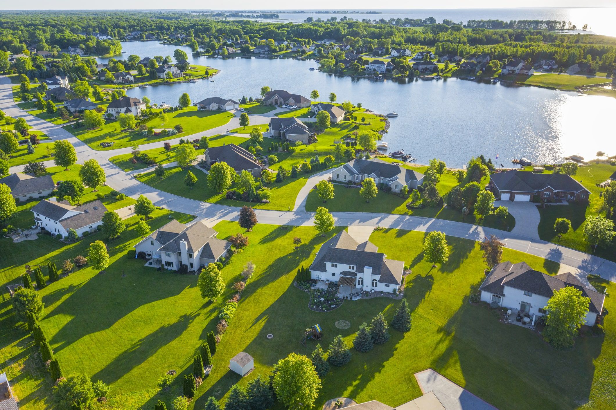
If you are looking at living in Champlin MN, figuring out your daily commute is probably at the top of your list. Nestled right on the edge of the Mississippi River, this city of about 23,000 residents offers a relaxed, suburban environment while keeping you connected to the broader Twin Cities.
Moving to Hennepin County means you have a variety of ways to navigate the region, whether you are heading to the office or out for the weekend. We are going to explore everything from primary driving routes and public transit options to ridesharing and local bike trails.
Driving in Champlin: Highway 169 and Commuter Routes
For most residents, getting around Champlin MN starts with hopping in the car. It is a community where the average household keeps about two vehicles, and the local road network is built to accommodate that everyday travel.
Highway 169 serves as the primary north-south artery running straight through the center of town. It is your main corridor for heading south toward Interstate 694 and the rest of the Twin Cities highway commute guide network. While it is incredibly convenient for reaching major employment centers, locals know that Highway 169 can experience some noticeable traffic bottlenecks during the peak morning and evening rush hours. Winter weather can also slow this route down, so giving yourself a few extra minutes from November through March is always a smart move.
When Highway 169 backs up, it is helpful to know your alternate travel paths. Highway 610, located just south in neighboring Brooklyn Park, is a fantastic east-west resource that helps you navigate around heavy congestion and cross the river with ease.
Average Commute Times to Minneapolis and Maple Grove
Understanding your daily drive is a huge part of choosing where to live, and Champlin is positioned very well for regional access. The average resident here spends about 24.7 minutes commuting each way. Here is a quick look at typical drive times to nearby hubs when traffic is flowing smoothly:
-
Downtown Minneapolis: Roughly 17 to 20 miles away, taking about 26 to 30 minutes on a clear day.
-
Maple Grove: A quick 12-mile drive that usually takes 13 to 15 minutes, perfect for accessing the Maple Grove shopping guide.
-
Coon Rapids and Osseo: Just a quick hop across the river or down the road, usually taking under 10 minutes for local errands.
Public Transportation Options: Metro Transit in Champlin
If you prefer to let someone else handle the traffic, public transportation offers a reliable alternative near Champlin. Metro Transit is the primary provider of bus services for the area, making it easy to connect to the broader Twin Cities public transportation guide network.
Commuters heading into the city often rely on Express Route 766, which runs from Champlin through Brooklyn Park directly into downtown Minneapolis. Riding the express bus allows you to read, catch up on emails, or just relax instead of navigating highway congestion. Another great option nearby is Route 827, serving the Anoka and Coon Rapids corridor. Fares are very reasonable, typically ranging from $2.00 to $3.25 depending on the time of day and whether you are taking an express route.
To make your morning seamless, it is highly recommended to download the Metro Transit app or use an interactive trip planner like Moovit. These resources let you check the website for real-time schedule updates, delays, and route changes before you walk out the door.
Champlin Park-and-Ride Locations
Utilizing a park-and-ride lot is a smart way to save on the cost of living in Minneapolis, especially when you factor in steep downtown parking fees. You can park your car for free locally and simply catch the bus for the long leg of your trip.
-
Richardson Park Park & Ride: Located conveniently at 104 Dayton Road right in Champlin, offering a straightforward starting point for your morning commute.
-
Noble Parkway & Highway 610: A nearby alternative in Brooklyn Park that offers expanded route access and frequent departure times for your daily travel.
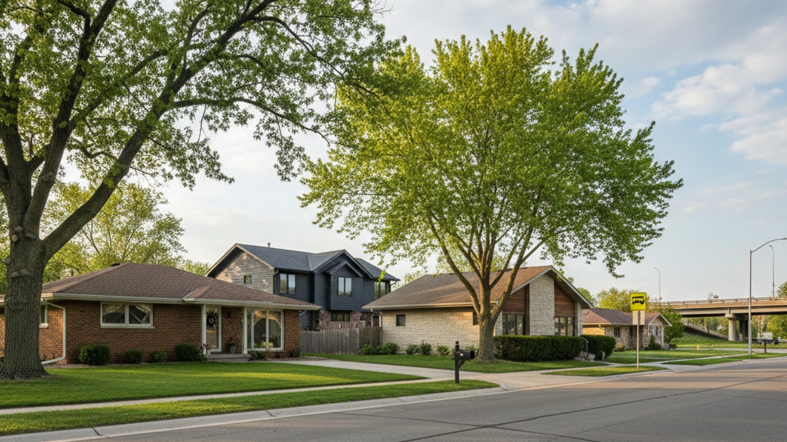
Bike Trails and Walkability in Champlin, MN
Getting around isn't just about cars and buses - sometimes you just want to explore the area on foot or by bike. While the city as a whole leans toward being car-dependent for major errands, there are highly walkable pockets and incredible trail systems to enjoy.
The city manages approximately 300 acres of parkland spread across 32 different locations, making it easy to find a paved path near your front door. The trails along the Mississippi River are a standout feature, providing scenic routes that are excellent for both weekend recreation and active commuting. If you want to check out the best parks in Champlin MN, the riverfront is the perfect place to start your walk.
For serious cyclists, the proximity to Elm Creek Park Reserve in Maple Grove is a major perk. This massive park offers extensive biking trails that seamlessly connect the northern suburbs, making outdoor recreation in the Twin Cities highly accessible without needing to load your bike onto a car.
Ridesharing, Taxis, and Airport Access
Whether you are heading out for a night on the town or catching a flight, on-demand transportation is readily available. Ridesharing has become a staple in the northern suburbs, providing an easy option when you want to leave your personal vehicle at home.
Apps like Uber and Lyft operate reliably in Champlin, offering quick access to surrounding communities. A standard Uber ride from Champlin to downtown Minneapolis typically takes about 26 minutes. You can expect the cost to hover roughly between $30 and $50, though this will fluctuate based on surge pricing, weather, and the time of day. Local taxi services are also available as a traditional alternative if you prefer booking a cab.
If you are traveling out of state, getting to the Minneapolis-St. Paul International Airport (MSP) is a fairly straightforward drive. Navigating MSP airport starts with a trip down Highway 169 or Interstate 494, which generally takes about 35 to 45 minutes depending on the current traffic conditions. Booking your ride ahead of time for early morning flights is always a good strategy to ensure you arrive at your terminal with plenty of time to spare.
Frequently Asked Questions
Can I get around Champlin without a car?
While it is possible to use public transit and local trails, Champlin is primarily a car-dependent suburb. Most residents find that owning a vehicle is the most practical way to run daily errands and commute, though services like Metro Transit and ridesharing provide excellent backup options.
What time is the first bus to Champlin from Minneapolis?
Transit schedules shift slightly throughout the year, but the earliest commuter buses typically leave downtown Minneapolis around 6:00 AM or 7:00 AM. It is always best to use an interactive trip planner or check the Metro Transit website for the exact departure times on your specific route.
How long is the commute from Champlin to downtown Minneapolis?
The drive from Champlin to downtown Minneapolis covers about 17 to 20 miles and usually takes 26 to 30 minutes under normal conditions. During peak morning and evening rush hours, you should plan for that drive time to increase as traffic builds on Highway 169.

Ann Breuer
Broker Associate, SRES, Team Owner | First Choice Realty Solutions • REAL Broker, LLC. | PLACE
or another way